


Beijing Aerospace Jiatu Technology Co., Ltd
The company was established in November 2010 and is a private high-tech enterprise. With data as its core, it provides comprehensive spatial information system solutions for government and industry users. Our main business includes spatial data services, industry application software development services, consulting and other services.
A one-stop service company that relies on high-resolution remote sensing imaging technology and integrates remote sensing (RS), global satellite positioning system (GPS), geographic information system (GIS), and artificial intelligence technology (AI).
The company has a professional production, technology, and research and development team, which has provided remote sensing monitoring and satellite data services to government and industry clients. It has many mature spatial big data integration application solutions in land surveying, agriculture, ocean, forest defense, water conservancy, national emergency, etc. It has been established as a spatial remote sensing information industry chain company with services from data sources, processing and processing, information product production to regional, industry, and public applications
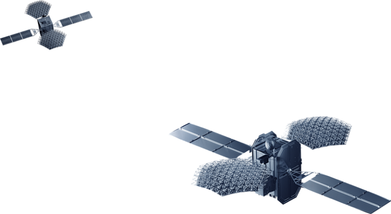
Satellite constellations
ZY-1 02E 11:11 am Beijing time, December 26, 2021
GF-1, April 26, 2013 at 12:13 am Beijing time
GF-3, August 10, 2016 at 06:55 Beijing time
GFDM, July 3, 2020 at 11:10 am Beijing time
Value added services
Remote sensing satellite image preprocessing
Remote sensing satellite geometric correction refers to the use of a series of mathematical models to correct and eliminate distortions in remote sensing image imaging caused by photographic material deformation, objective lens distortion, and atmospheric refraction
Product Services
PE(Pixel Engine),It is an independently developed, easy-to-use, fully automated, efficient, fast, and real-time visualization remote sensing data processing software. PE has developed a series of remote sensing image processing functions that combine remote sensing and GIS, with the support of a highly visual platform, in response to the large amount of data in remote sensing images.
AI algorithm
AI algorithm
Targeting several key links in ground processing of remote sensing data, including land based remote sensing data annotation, model design, training and iterative optimization, and application validation

Product Services
News and information
About us