Beijing Aerospace Jiatu Technology Co., Ltd
The company was established in November 2010 and is a private high-tech enterprise. With data as its core, it provides comprehensive spatial information system solutions for government and industry users. Our main business includes spatial data services, industry application software development services, consulting and other services.
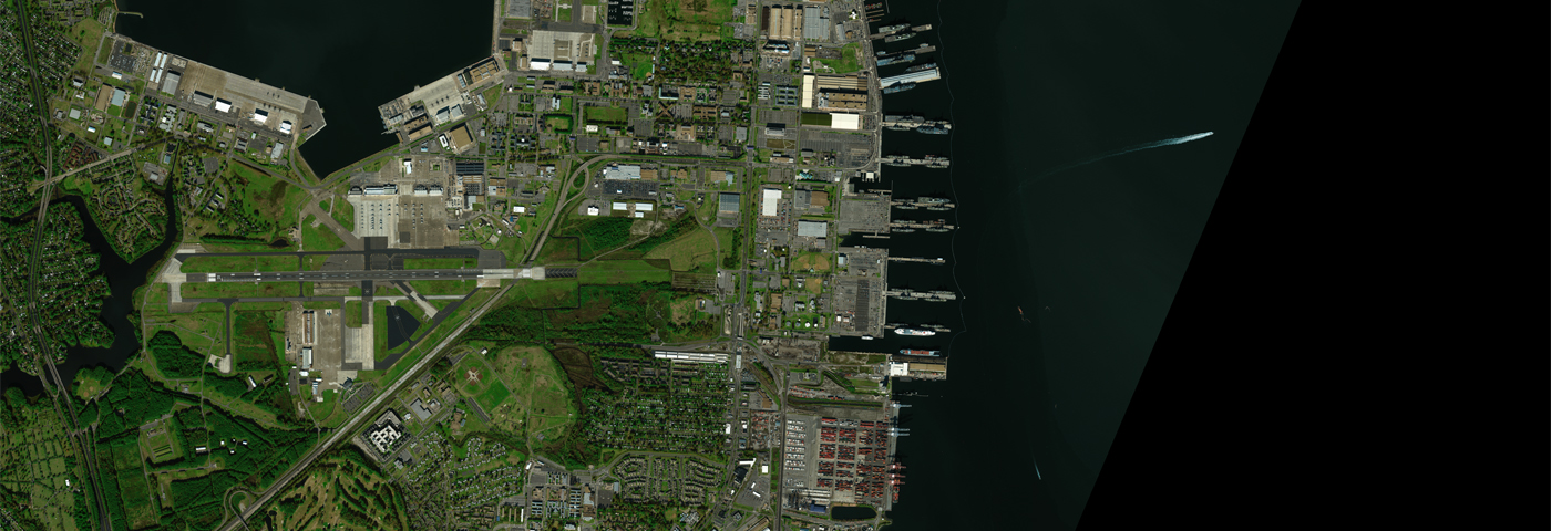
A one-stop service company that relies on high-resolution remote sensing imaging technology and integrates remote sensing (RS), global satellite positioning system (GPS), geographic information system (GIS), and artificial intelligence technology (AI).
The company has a professional production, technology, and research and development team, which has provided remote sensing monitoring and satellite data services to government and industry clients. It has many mature spatial big data integration application solutions in land surveying, agriculture, ocean, forest defense, water conservancy, national emergency, etc. It has been established as a spatial remote sensing information industry chain company with services from data sources, processing and processing, information product production to regional, industry, and public applications

Learn more