News List / News

-
 Gaofen-3 successfully launched, with three major functions playing a greater roleOn August 10th, at the Taiyuan Satellite Launch Center, the Long March 4 carrier rocket lifted the Gaofen-3 satellite and roared upwards, piercing the sky. At this point, the major special project family of China's high-resolution Earth observation system, following Gaofen-1, Gaofen-2, and Gaofen-4, has welcomed another "heavenly eye" detective - Gaofen-3.View more
 -
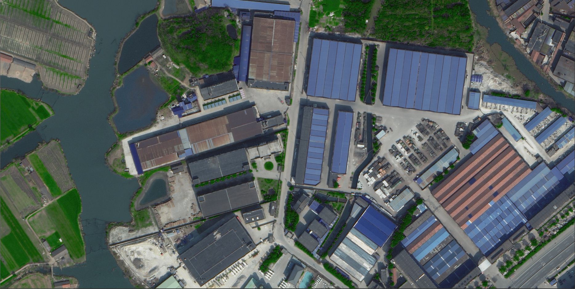
 The first batch of image images transmitted from Resource 3's 02 satellite are significantly different from the results obtained from 01 satelliteOne day later, the newly launched Resource 3 02 satellite has started to transmit data back. At 10:57 am on May 31st, the Resource 3 02 satellite launched imaging for the first time and successfully obtained image images, including forward, forward, and backward full-color and multispectral images, covering areas such as Heilongjiang, Hebei, Inner Mongolia, Tianjin, and Shandong. The first batch of image images are clear, rich in color, and of excellent quality.View more
 -
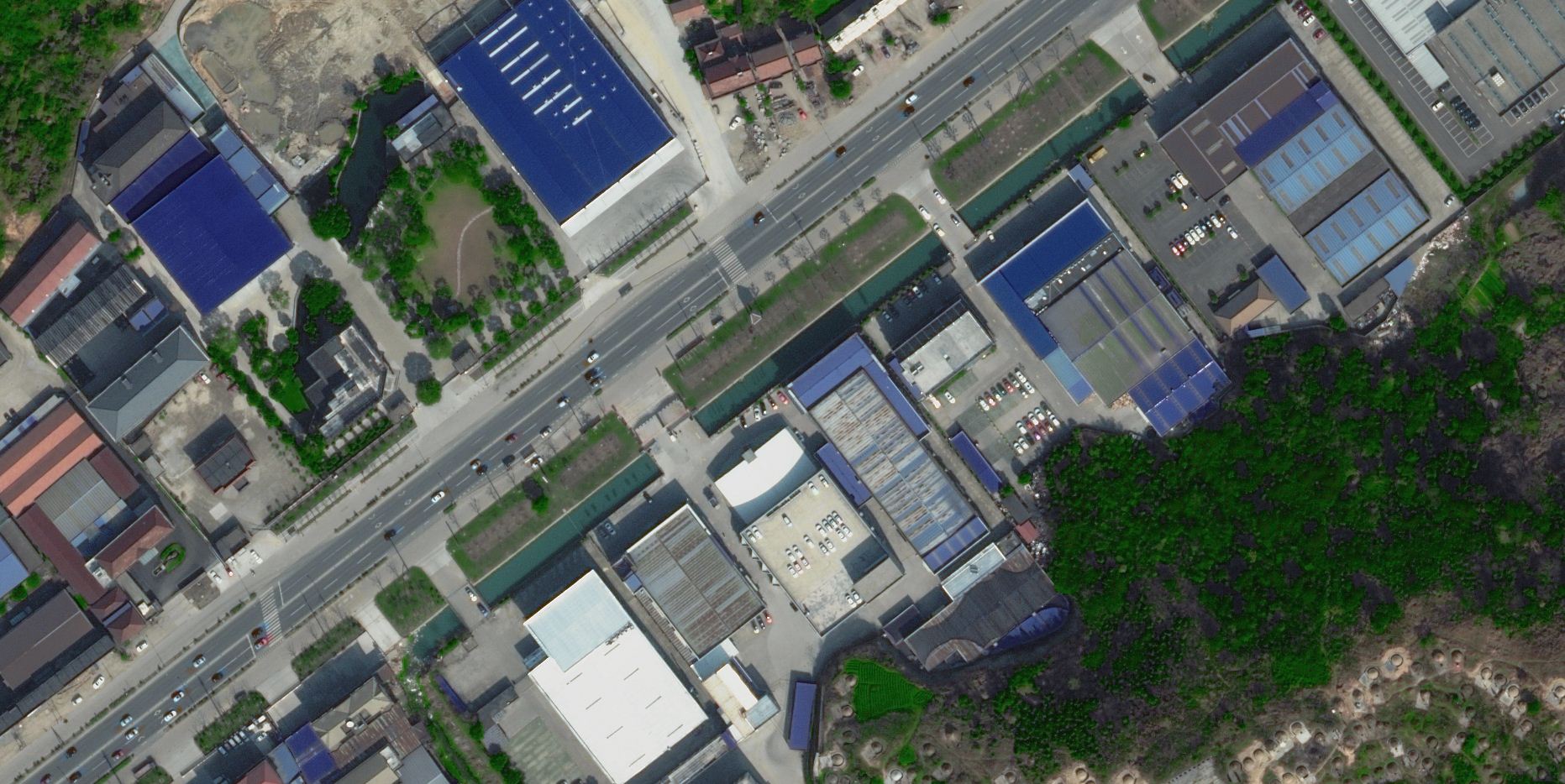
 Resource 3 high-resolution survey map 02 satellite launch can cover international hotspots multiple timesView more
 -
 Geographical and National Survey ProjectIn order to comprehensively grasp the current situation of China's geographical and national conditions, meet the needs of economic and social development and ecological civilization construction, the State Council has decided to carry out the first national geographical and national census from 2013 to 2015. This is a massive system engineering project with a huge workload, multiple participating units, new technology, and high difficulty.View more
 -
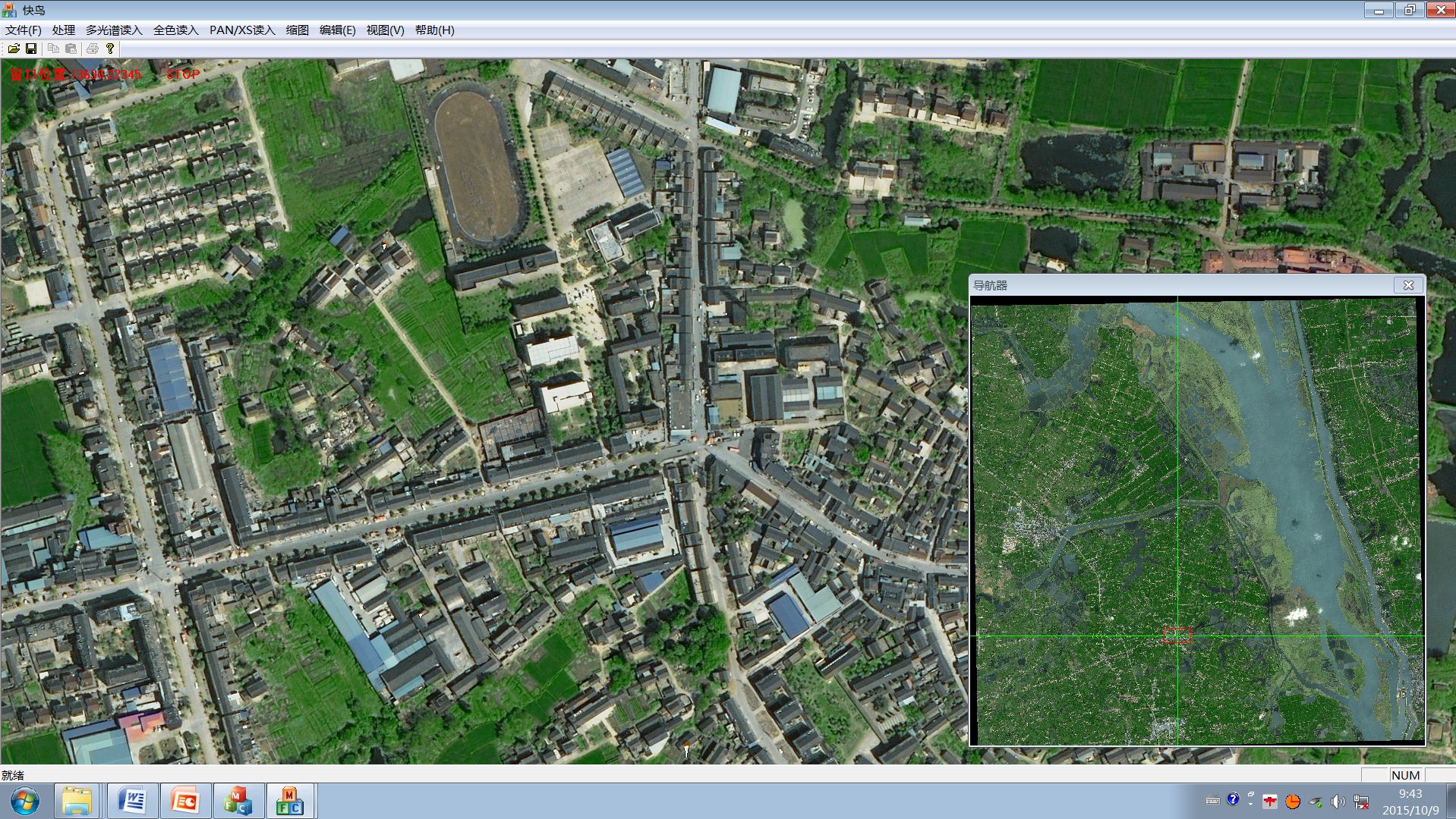
 The national satellite remote sensing data production project has been basically completedOur company participated in the fusion processing of national medium resolution satellite images and high-resolution image data from key regions in a certain satellite application center in 2013. The effective area of the data is about 8 million square kilometers, with a total of approximately 26000 views. Medium resolution refers to domestic satellites ranging from 2 meters to 2.5 meters, including GF1, ZY3, ZY02C, SJ9, etc; High resolution refers to satellites within 1 meter: mainly domestic GF2, supplemented by foreign WV and P1.View more
 -
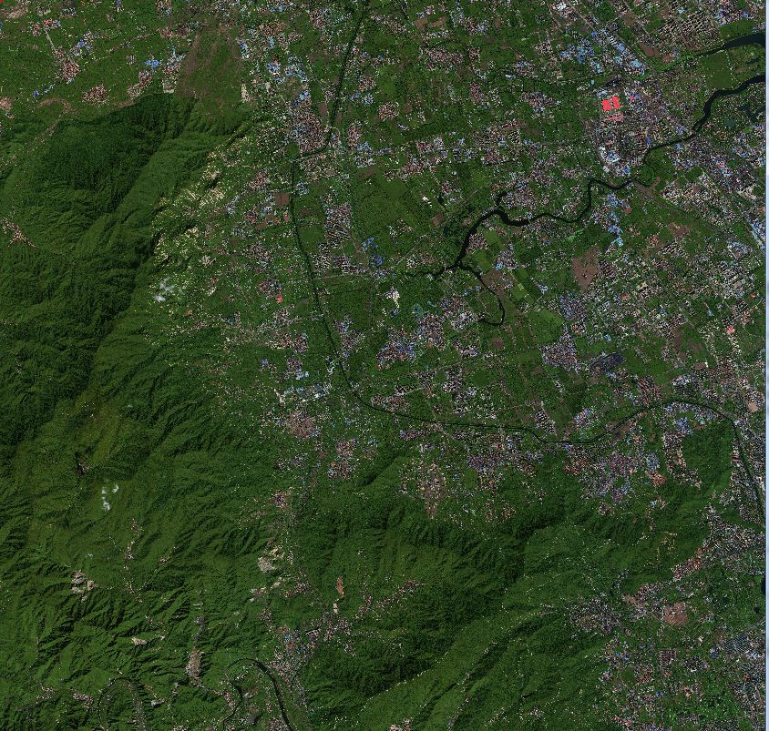
 Phase achievements of the 863 project on remote sensing mapping of global land coverThe remote sensing mapping project of global surface coverage has achieved phased results. Recently, Xu Guanhua, former minister of the Ministry of Science and Technology and academician of the CAS Member, Xu Deming, secretary of the Party Leadership Group and director of the National Bureau of Surveying, Mapping and Geographic Information, and Li Pengde, deputy director of the National Bureau of Surveying, Mapping and Geographic Information, were reported on the results, which was highly praised. Academician Xu Guanhua highly praised it, believing it to be a landmark event based in China and moving towards the world. As one of the participating units in this project, Aerospace Jiatu Technology Co., Ltd. is deeply encouraged.View more