
The company has a professional production, technology, and research and development team, which has provided remote sensing monitoring and satellite data services to government and industry clients. It has many mature spatial big data integration application solutions in land surveying, agriculture, ocean, forest defense, water conservancy, national emergency, etc. It has been established as a spatial remote sensing information industry chain company with services from data sources, processing and processing, information product production to regional, industry, and public applications
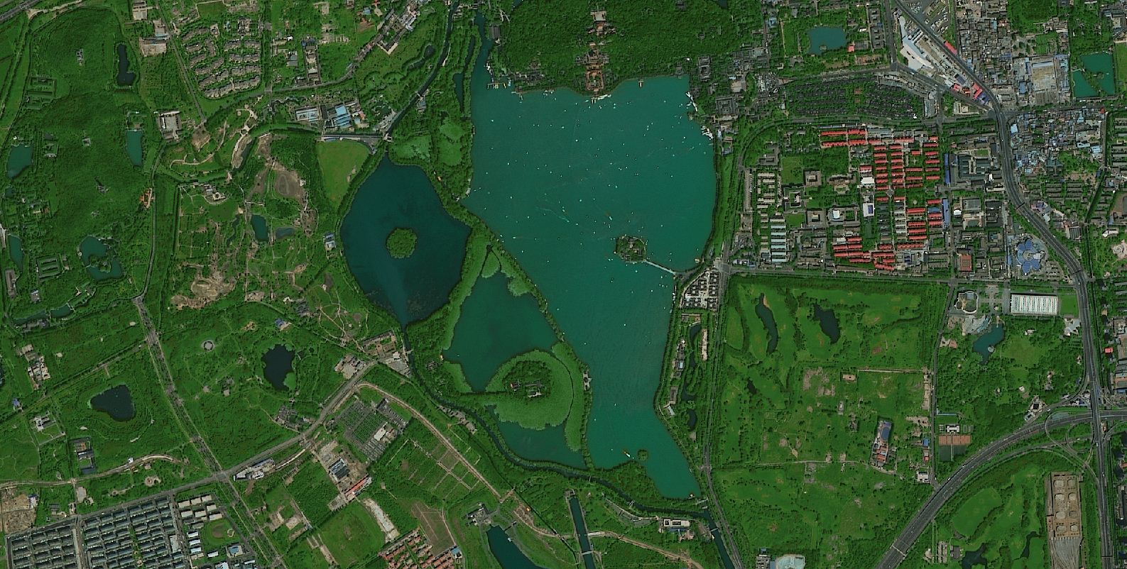
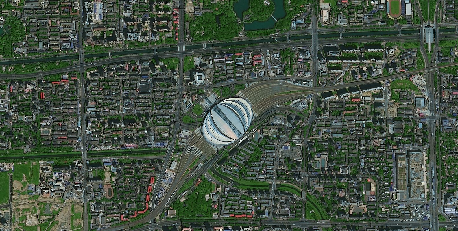
Image samples
Beijing Aerospace Jiatu Technology Co., Ltd