


Product Services
Product List
AI algorithm
-
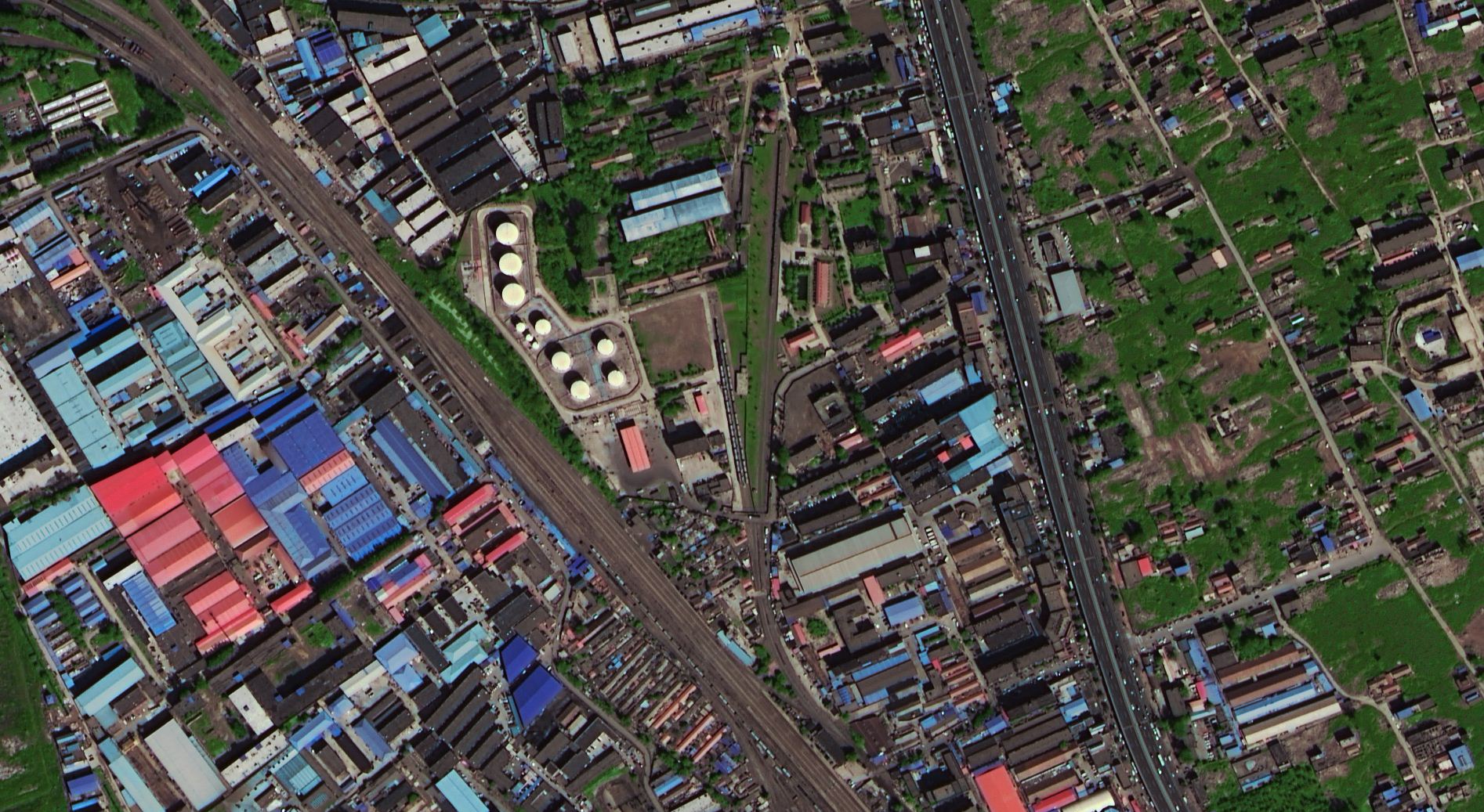 Image data of Gaofen-2 remote sensing satelliteThe GF-2 satellite is the first civilian optical remote sensing satellite independently developed by China with a spatial resolution better than 1 meter. It is equipped with two high-resolution 1 meter panchromatic and 4 meter multispectral cameras, with sub meter level spatial resolution, high positioning accuracy, and fast attitude maneuverability, effectively improving the comprehensive observation efficiency of the satellite and reaching the international advanced level. The Gaofen-2 satellite was successfully launched on August 19, 2014, and was first launched for imaging and data transmission on August 21. This is currently the highest resolution civilian land observation satellite in China, with a sub satellite spatial resolution of up to 0.8 meters, marking the entry of China\\\'s remote sensing satellites into a sub meter level \\\"high resolution era\\\". The main users are departments such as the Ministry of Land and Resources, the Ministry of Housing and Urban Rural Development, the Ministry of Transport, and the National Forestry Administration. At the same time, demonstration application services will also be provided to other user departments and relevant regions.View more
 -
 Gaofen-3 radar satellite image dataGaofen-3 was successfully launched on August 10, 2016 and officially put into use on January 23, 2017. China\'s first C-band multipolar synthetic aperture radar satellite with a resolution of 1 meter. It is the only radar star in the high scoring special \"Sky Eye Project\".View more
 -
 SPOT5 Remote Sensing DOM Production in Hailar City, Inner MongoliaThe Ewenki Autonomous Banner is located in the northeast of Inner Mongolia Autonomous Region, with an eastern diameter of 118 ° 48 ′ -121 ° 09 ′ and a northern latitude of 47 ° 32 ′ ′— 49 ° 15 ′, with a total area of over 19000 square kilometers in the jurisdiction. This project aims to use SPOT5 remote sensing data, DEM data, and GPS control points to create orthophoto maps, laying the foundation for conducting land use renewal surveys in Hailar City.View more
 -
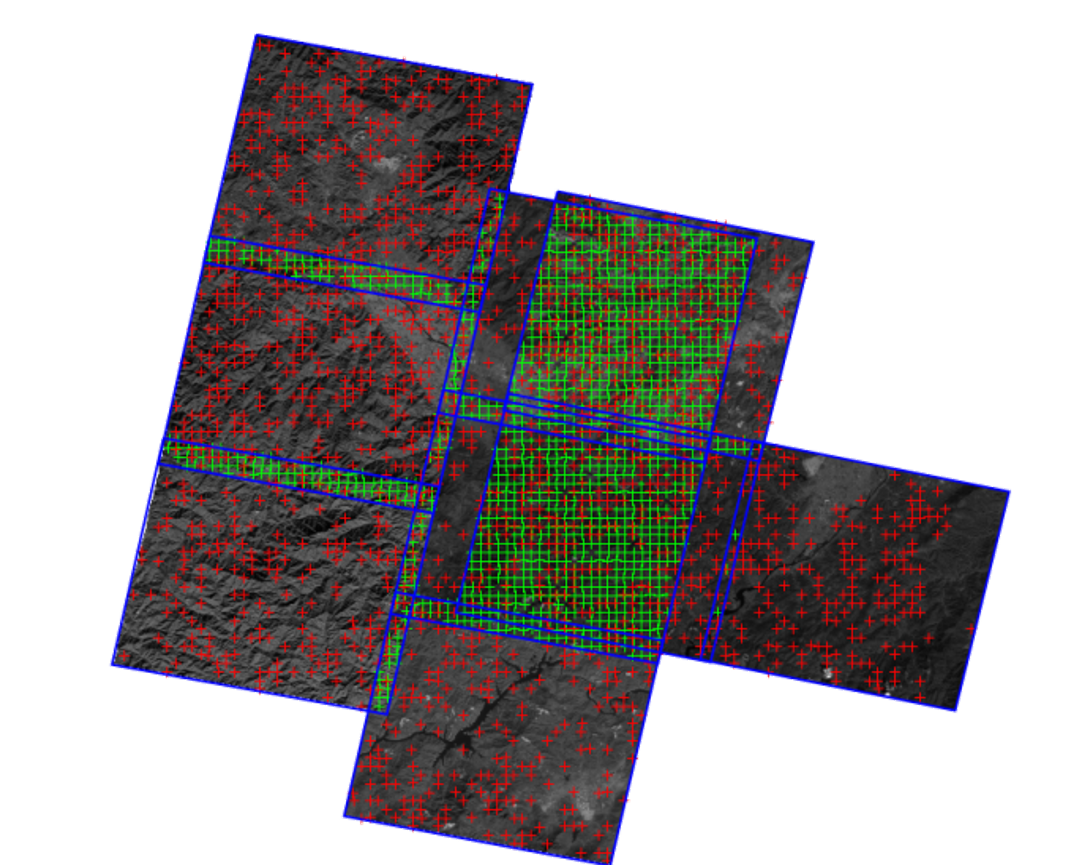
 Remote sensing satellite image preprocessingRemote sensing satellite image preprocessing: Remote sensing satellite geometric correction refers to the use of a series of mathematical models to correct and eliminate the deformation of geometric positions, shapes, sizes, orientations, and other features of various objects in the original image caused by factors such as photographic material deformation, objective lens distortion, atmospheric refraction, Earth curvature, Earth rotation, and terrain undulations, which are inconsistent with the expression requirements in the reference system. Geometric correction refers to the process of eliminating or correcting geometric errors in remote sensing images. The deformation error of remote sensing images can be broadly divided into two categories: static error and dynamic error.View more
 -
 AI algorithmRegarding several key aspects of ground processing of remote sensing data, including annotation, model design, training and iterative optimization, and application validation: Preprocessing: cloud judgment, snow judgment Precision processing: cloud detection, cloud removalView more
 -
 Introduction to PEPE (Pixel Engine) is a remote sensing data processing software that is independently developed, easy to operate, fully automated, efficient, fast, and visualized in real-time. PE has developed a series of remote sensing image processing functions that combine remote sensing and GIS, with the support of a highly visual platform, in response to the large amount of data in remote sensing images. Emphasis is placed on solving key automation processing issues such as registration correction, fusion color adjustment, mosaic color uniformity, and cropping output for large-scale satellite remote sensing images, and providing tools and solutions.View more
Product Services
A one-stop service company that relies on high-resolution remote sensing imaging technology and integrates remote sensing (RS), global satellite positioning system (GPS), geographic information system (GIS), and artificial intelligence technology (AI).

Value added services
Satellite constellations